The map covers both starting areas and their common approaches toward Hampton Roads.
FREDERICKSBURG / KING GEORGE, VA → WAVES, NORTH CAROLINA
Live route conditions.
Use the universal map below to check traffic speeds, crashes, closures, construction, weather-related road problems, and available roadside cameras before leaving.
Choose the route shown as fastest by your navigation app at departure time. Traffic can change quickly around Richmond and Hampton Roads.
The route ends at Waves, with traffic events and camera coverage continuing south along NC-12 through Hatteras Island and toward the Ocracoke ferry approach.
VIRGINIA + NORTH CAROLINA · LIVE
VDOT + NCDOT dataTraffic, events & road cameras
One map follows the common routes from the Fredericksburg and King George areas to Waves, then continues south along NC-12 through Hatteras Island. Tap any event for details or any camera to open its live feed.
Show:◎ GPS is the round target inside the mapUse the GPS button inside the map. Tap the map's GPS target to locate or recenter; drag anytime to stop following. Location stays on this device.
Loading traffic, events, and cameras…
Traffic:ClearModerateHeavyStopped / closed📹 NCDOT📹 VDOT! Road event
Loading live road data…Virginia 511 ↗DriveNC ↗
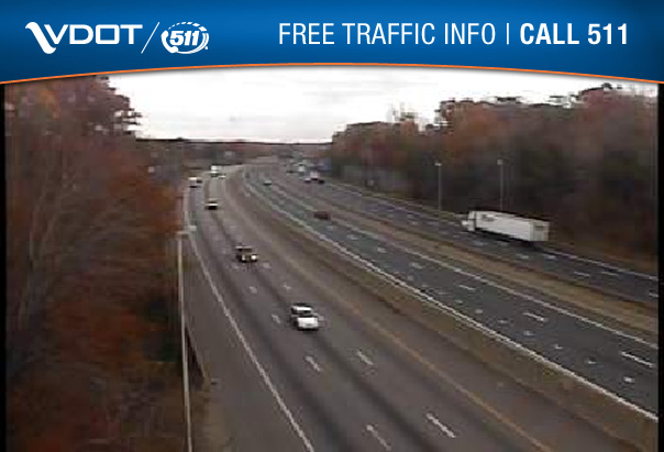
Free Traffic Info at 511Virginia.org
Spend time on vacation, not in congestion: check Virginia 511 before leaving and during safe stops.
Traffic information can lag behind real conditions. Follow posted signs, emergency personnel, and official detours. Never operate the map while driving.